Is California facing dangerous coastal flooding? Yes. The National Weather Service has issued a coastal flood watch for San Luis Obispo County and Santa Barbara County Central Coast beaches, effective from 3 a.m. Wednesday until 3 p.m. Thursday. It warns of significant coastal flooding, with the highest risk on Wednesday and Thursday.
A separate coastal flood advisory covers the same beaches from Monday at 3 a.m. until Wednesday at 3 a.m. Forecasters expect moderate flooding during that window, and more alerts are likely into today.
Why are California’s waves so big right now?
A string of low pressure systems over the Pacific has been sending powerful swells toward the coast. The Guardian reports that offshore NOAA buoys recorded waves above 30 feet last Friday. The Monterey buoy logged 34.1 feet, which would be the highest reading in 30 years. Beaches and piers closed last weekend as waves slammed the shoreline.
For this week, waves of 10 to 18 feet are forecast, with sets of 18 to 22 feet along San Luis Obispo and Santa Barbara County beaches.
What can this coastal flooding damage?
The NWS describes a moderate risk of seawater flooding low lying areas, especially near high tide. Beaches, roads and structures can be affected, and significant beach erosion is possible. Drowning risk climbs, rip currents can drag swimmers and surfers out to sea, and big breaking waves can knock people off rocks and capsize small boats near shore. The agency says rock jetties can be deadly in these conditions.
What should you do to stay safe?
Stay out of the water, or stay near an occupied lifeguard tower if you must be on the beach. Keep off jetties and rocks. Protect flood prone property and plan extra travel time, since some roads may close. If you live in a low lying area and are told to leave, go to higher ground right away and do not wait.
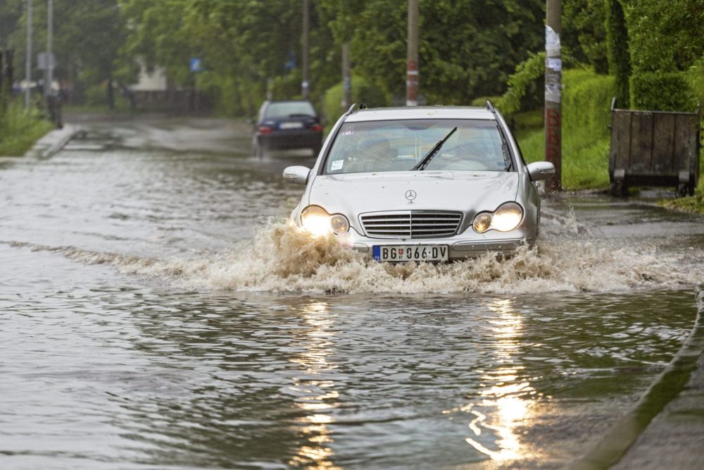
Avoid walking or driving through floodwater. The NWS says even 6 inches of moving water can knock you off your feet, and about 12 inches can carry away most cars. If you hear buzzing or popping or see sparks near submerged outlets, leave immediately. If you are trapped by moving water, get to the highest point you can and call 911.
Is more bad weather coming?
Yes. The Guardian says the storm track is also bringing heavy rain, mountain snow and strong winds across the western U.S. Record rainfall hit San Francisco on Wednesday, and heavy rain knocked out power to about 32,000 customers in Sacramento. Another system is expected to bring more than 4 inches of rain to parts of southern Oregon and northern California by Sunday night, plus snow at Donner Pass.
Who is most at risk?
Here is my own read, and none of the sources say it. Disasters rarely hit everyone equally. Black and Brown families in California are more likely to live in lower cost housing and to rely on transit, which can leave fewer options when roads close or power fails. If you have older relatives or neighbors in low lying areas, check on them before the surf peaks Wednesday.