A slow-moving storm could drop 1 to 3 inches of rain and trigger mudslides in recent burn scars
Southern California is getting drenched. A slow-moving and powerful storm system rolled into the region on Thursday morning, Nov. 19, bringing heavy rain, flood watches and coastal advisories, according to KTLA. Forecasters expect 1 to 3 inches of rain in many areas, with up to 5 inches possible along the coastal slopes.
The storm first made its presence felt in Ventura County early Thursday before moving into the Los Angeles area.
Heavy downpours expected
The National Weather Service described the system as a particularly efficient rain producer. Rainfall rates could top an inch per hour in some spots, with some areas seeing close to three-quarters of an inch in just 30 minutes.
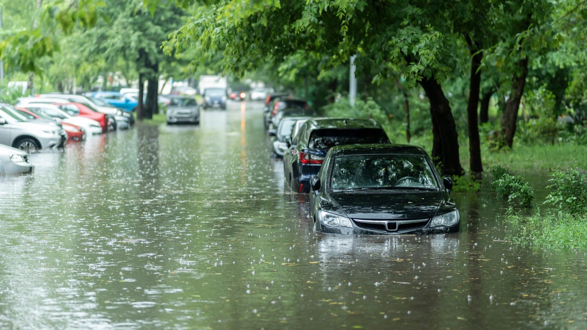
Rain like that can quickly overwhelm storm drains and send water rushing into streets, making travel dangerous in a hurry.
Flood watch for most of L.A. County
Flood watches are in effect for most of Los Angeles County through Thursday afternoon, with the exception of the Antelope Valley.
The Weather Service warned that the heavy rain could cause significant flooding on roads and in other low-lying areas. Creeks and canyons could see strong, fast-moving flows, and rockslides, mudslides and debris flows are possible, especially in areas recently scarred by wildfires.
Burn scars are especially vulnerable during heavy rain. Without vegetation to hold the soil in place, the ground can give way quickly, sending mud, rocks and debris downhill toward homes and roads.
There is also a chance of weak tornadoes in the Los Angeles Basin, according to the Weather Service.
Snow in the mountains
Higher elevations will see a mix of weather. Snow levels are expected to stay above 7,000 feet for most of the storm. During the final few hours, however, 1 to 3 inches of snow could fall as low as 5,500 feet.
Drivers heading into the mountains should be prepared for slick roads and changing conditions.
When the rain will hit hardest
The heaviest rain in Los Angeles County is expected during the morning hours on Thursday. Showers farther inland are expected to develop a little later in the day.
Scattered showers are likely to linger throughout Thursday, according to KTLA meteorologist Kirk Hawkins. The region should finally get a break on Friday, when drier conditions and sunshine return. By Saturday, a small ridge of high pressure is expected to bring slightly warmer temperatures.
How to stay safe during the storm
With flooding and mudslides possible, residents are encouraged to take a few simple precautions.
Avoid driving through flooded roads, since even shallow, fast-moving water can sweep a vehicle away. If you must travel, allow extra time, slow down and keep plenty of distance between you and the car ahead.
Stay away from creeks, rivers and storm channels, which can rise quickly during heavy rain. Residents living near burn scars or hillsides should watch for signs of mudslides, such as cracking ground, tilting trees or unusual sounds like rumbling, and be ready to leave if told to do so.
It’s also smart to keep phones charged, have flashlights handy in case of power outages and check local alerts for updates throughout the day.
A busy stretch of wild weather
The storm is the latest in a series of intense weather events to hit California in recent days. Heavy rain, strong winds, snow and lightning have already been reported in parts of the state this week.
For now, Southern Californians are being urged to stay alert, avoid unnecessary travel during the heaviest rain and keep an eye on the forecast until the storm moves out on Friday.
Source: KTLA, originally reported by Tony Kurzweil and Kirk Hawkins.